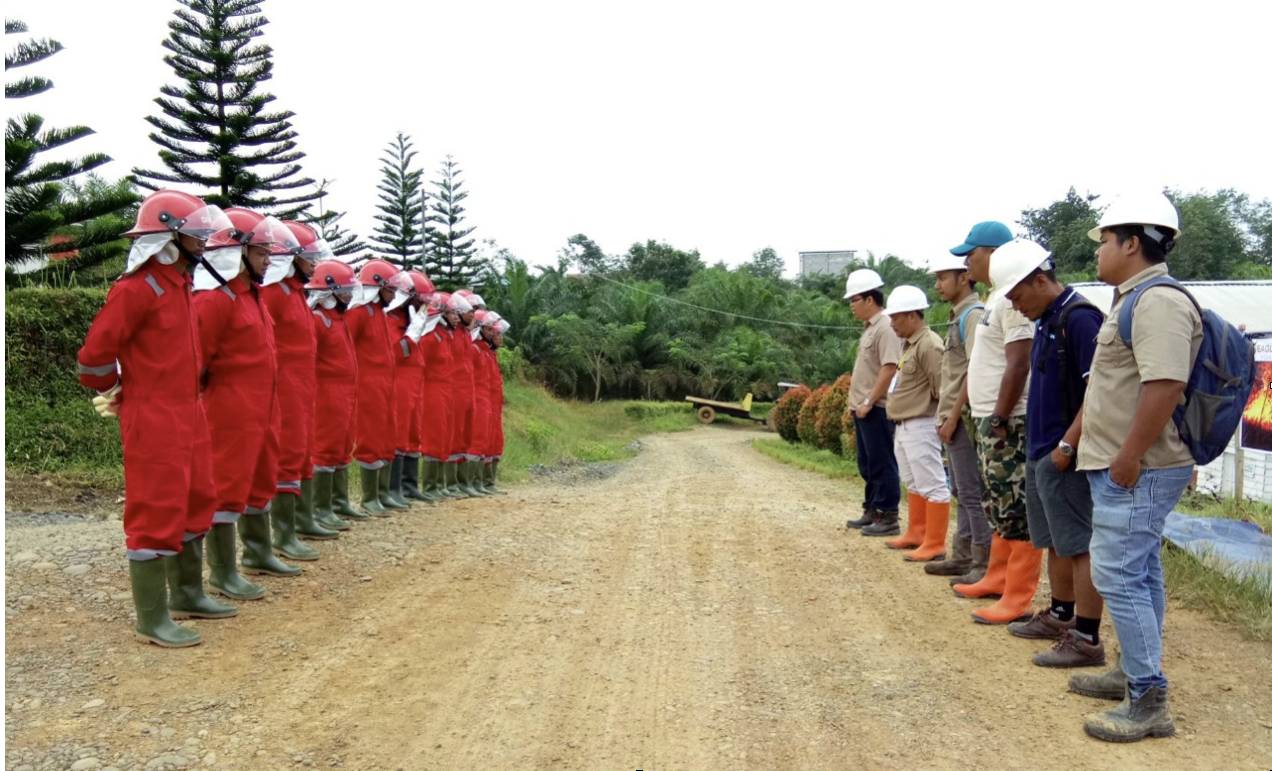
Fire Prevention and Management
Forest fires are an issue that needs to be prioritized because apart from causing negative impacts on ecosystems and biodiversity, they also put the health and socio-economic conditions of the surrounding communities at risk.
As a member of the Indonesian Palm Oil Association (GAPKI), the Company is committed to implementing palm oil best practices to operate without burning. The Company forms a fire brigade in each plantation. The fire brigade is tasked with monitoring and identifying hotspots due to land burning, or forest and land fires (karhutla) in the Company's operational areas.

The monitoring was carried out by the fire brigade with the Visible Infrared Imaging Radiometer Suite (VIIRS) satellite and the National Oceanic and Atmospheric Administration (NOAA). For hot spots that are detected, the fire brigade will verify directly in the field, then follow up with blackouts, making reports in the event of a land fire, and reporting to related parties. To mitigate the occurrence of land fires, the Company conducts socialization to the surrounding communities regarding the prohibition of land clearing by burning.
The following is the number of hotspots monitored during the period of January 1, 2023 – December 31, 2023.
| No | Area | Number of Hotspots | |
|---|---|---|---|
| Within Concession | Outside Concession | ||
| 1 | Kalimantan | 263 | 369 |
| 2 | Sumatra | 8 | 1 |
| 3 | Papua | 0 | 0 |
| TOTAL | 271 | 370 | |
|
Source: 1. NASA FIRMS Data VIIRS 375m NOAA-20 2. NASA FIRMS Data MODIS Collection 6 NRT 3. NASA FIRMS Data VIIRS 375m S-NPP 4. Batas Legalitas yang digunakan dalam Monitoring Hotspot Th. 2023 5. Data Planted seluruh Region EHP |
|||

